... interpolate to a new projection?
julia
using SpeciesDistributionToolkit
using CairoMakie
The interpolate method can be used to project data into another coordinate system. For example, we can get bird richness data for metropolitan France and Corsica, in the Eckert IV projection:
julia
spatial_extent = (; left = -4.87, right = 9.63, bottom = 41.31, top = 51.14)
dataprovider = RasterData(BiodiversityMapping, BirdRichness)
layer = SDMLayer(dataprovider; layer = "Birds", spatial_extent...)
🗺️ A 104 × 123 layer with 9579 UInt16 cells
Projection: +proj=eck4 +lon_0=0 +x_0=0 +y_0=0 +datum=WGS84 +units=m +no_defsWe can check out the original data:
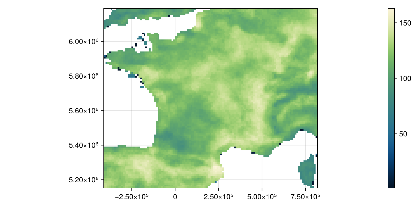
Code for the figure
julia
fig, ax, hm = heatmap(
    layer;
    colormap = :navia,
    figure = (; size = (800, 400)),
    axis = (; aspect = DataAspect()),
)
Colorbar(fig[:, end + 1], hm)
And project them to the more locally appropriate EPSG:27574:
julia
proj_string = "+proj=lcc +lat_1=42.165 +lat_0=42.165 +lon_0=0 +k_0=0.99994471 +x_0=234.358 +y_0=4185861.369 +ellps=clrk80ign +pm=paris +towgs84=-168,-60,320,0,0,0,0 +units=m +no_defs"
ws = interpolate(layer; dest = proj_string)
🗺️ A 104 × 123 layer with 8678 Float32 cells
Projection: +proj=lcc +lat_1=42.165 +lat_0=42.165 +lon_0=0 +k_0=0.99994471 +x_0=234.358 +y_0=4185861.369 +ellps=clrk80ign +pm=paris +towgs84=-168,-60,320,0,0,0,0 +units=m +no_defsBy default, this produces a layer with the same dimension as the input, and uses bilinear interpolation:
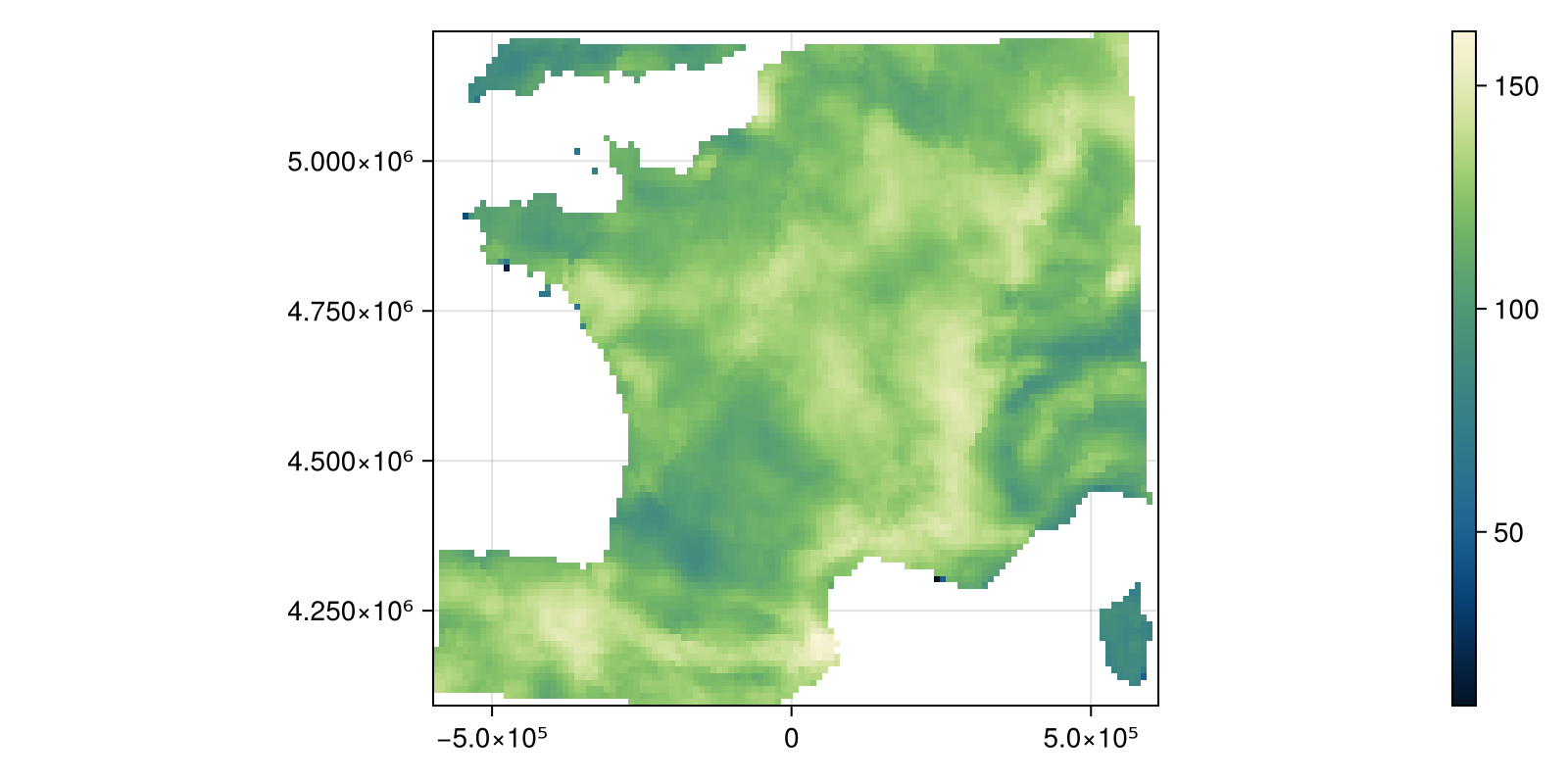
Code for the figure
julia
fig, ax, hm = heatmap(
    ws;
    colormap = :navia,
    figure = (; size = (800, 400)),
    axis = (; aspect = DataAspect()),
)
Colorbar(fig[:, end + 1], hm)
Overwrite a layer
There is an interpolate! method that will perform interpolation on an already existing layer. This is useful if you want to rapidly bring data from a layer to something compatible with another layer.