... split a layer in tiles?
This document illustrates the use of the tiles function, to rapidly split a layer into multiple layers. This is useful if you want to perform operations on raster that can easily be made parallel, and do not require the full raster.
julia
using SpeciesDistributionToolkit
using CairoMakie
To illustrate the tiling, we will grab the tree cover as given in the EarthEnv dataset, for a small spatial extent.
julia
dataprovider = RasterData(EarthEnv, LandCover)
spatial_extent = (left = 8.412, bottom = 41.325, right = 9.662, top = 43.060)
trees = sum([
    SDMLayer(dataprovider; layer = i, full = true, spatial_extent...) for
    i in 1:4
])
SDM Layer with 31559 UInt8 cells
Proj string: +proj=longlat +datum=WGS84 +no_defs
Grid size: (209, 151)Splitting the data into tiles can be done by calling the tiles function.
This will return a matrix with the same type as the layer given as its first argument. The second argument (the size of the matrix) can be omitted, and will default to (5, 5).
julia
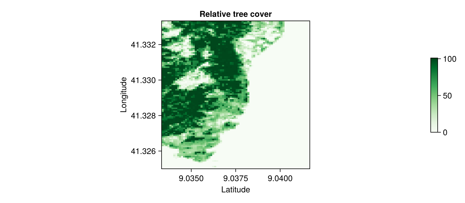
tree = tiles(trees, (2, 2));This can now be plotted:

Code for the figure
julia
tile_plot = heatmap(
    rand(tree);
    colormap = :Greens,
    figure = (; size = (800, 350)),
    axis = (;
        aspect = DataAspect(),
        xlabel = "Latitude",
        ylabel = "Longitude",
        title = "Relative tree cover",
    ),
)
Colorbar(tile_plot.figure[:, end + 1], tile_plot.plot; height = Relative(0.5))
This construct is very useful when your problem lends itself to naive parallelism.